
肥乡区 topographic map
Interactive map
Click on the map to display elevation.
About this map
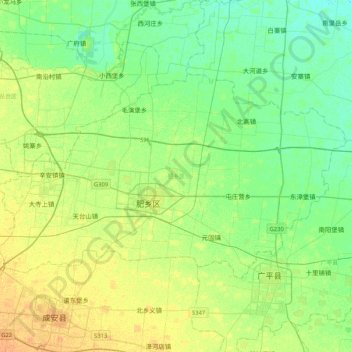
Name: 肥乡区 topographic map, elevation, terrain.
Location: 肥乡区, 邯郸市, 河北省, 057500, 中国 (36.47911 114.61683 36.67339 115.03165)
Average elevation: 161 ft
Minimum elevation: 128 ft
Maximum elevation: 207 ft
Other topographic maps
Click on a map to view its topography, its elevation and its terrain.