
车谷水库 topographic map
Interactive map
Click on the map to display elevation.
About this map
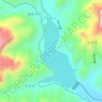
Name: 车谷水库 topographic map, elevation, terrain.
Location: 车谷水库, 武安市, 邯郸市, 河北省, 056000, 中国 (36.83412 113.81499 36.85436 113.82719)
Average elevation: 2,674 ft
Minimum elevation: 2,142 ft
Maximum elevation: 4,019 ft
Other topographic maps
Click on a map to view its topography, its elevation and its terrain.