
羊岑乡 topographic map
Interactive map
Click on the map to display elevation.
About this map
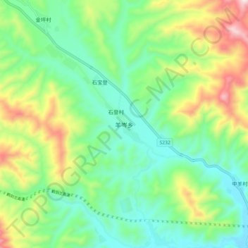
Name: 羊岑乡 topographic map, elevation, terrain.
Location: 羊岑乡, 剑川县, 大理白族自治州, 云南省, 中国 (26.44512 99.75772 26.52512 99.83772)
Average elevation: 8,061 ft
Minimum elevation: 7,329 ft
Maximum elevation: 9,616 ft
Other topographic maps
Click on a map to view its topography, its elevation and its terrain.