
登凤 topographic map
Interactive map
Click on the map to display elevation.
About this map
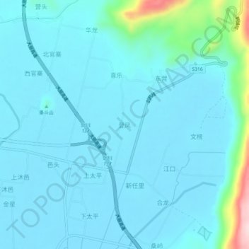
Name: 登凤 topographic map, elevation, terrain.
Location: 登凤, 剑川县, 大理白族自治州, 云南省, 中国 (26.51310 99.92130 26.55310 99.96130)
Average elevation: 7,290 ft
Minimum elevation: 7,178 ft
Maximum elevation: 8,202 ft
Other topographic maps
Click on a map to view its topography, its elevation and its terrain.