
Perinaldo topographic map
Click on the map to display elevation.
About this map
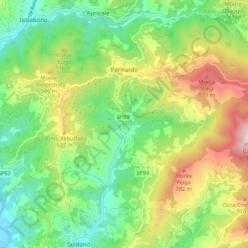
Name: Perinaldo topographic map, elevation, terrain.
Location: Perinaldo, Provincia di Imperia, Liguria, 18032, Italy (43.83036 7.64671 43.88025 7.72403)
Average elevation: 1,280 ft
Minimum elevation: 89 ft
Maximum elevation: 3,320 ft
Other topographic maps
Click on a map to view its topography, its elevation and its terrain.