
Charles Lake topographic map
Interactive map
Click on the map to display elevation.
About this map
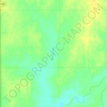
Name: Charles Lake topographic map, elevation, terrain.
Location: Charles Lake, 1600 Street, Allen County, Kansas, 66749, USA (37.83670 -95.39358 37.84003 -95.39225)
Average elevation: 984 ft
Minimum elevation: 945 ft
Maximum elevation: 1,017 ft
Other topographic maps
Click on a map to view its topography, its elevation and its terrain.
Tallgrass Prairie National Preserve
Tallgrass Prairie National Preserve, Prairie Fire Loop, Chase County, Kansas, USA
Average elevation: 1,348 ft
Milford Lake
Milford Lake, School Creek Road, Milford, Geary County, Kansas, 66514, USA
Average elevation: 1,217 ft
Belleville
USA > Kansas > Belleville
Belleville, Republic County, Kansas, USA
Average elevation: 1,522 ft
Independence
USA > Kansas > Independence
Independence, Montgomery County, Kansas, 67301, USA
Average elevation: 804 ft