
曲瓦乡 topographic map
Interactive map
Click on the map to display elevation.
About this map
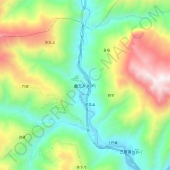
Name: 曲瓦乡 topographic map, elevation, terrain.
Location: 曲瓦乡, 舟曲县, 甘南藏族自治州, 甘肃省, 746300, 中国 (33.89278 103.96693 33.97278 104.04693)
Average elevation: 7,188 ft
Minimum elevation: 5,141 ft
Maximum elevation: 10,922 ft
Other topographic maps
Click on a map to view its topography, its elevation and its terrain.