
香孜村 topographic map
Interactive map
Click on the map to display elevation.
About this map
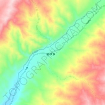
Name: 香孜村 topographic map, elevation, terrain.
Location: 香孜村, 札达县, 阿里地区, 西藏自治区, 中国 (31.81356 79.60782 31.85356 79.64782)
Average elevation: 14,075 ft
Minimum elevation: 13,661 ft
Maximum elevation: 14,531 ft
Other topographic maps
Click on a map to view its topography, its elevation and its terrain.