
Clark topographic map
Interactive map
Click on the map to display elevation.
About this map
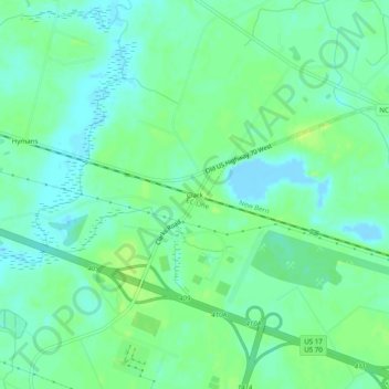
Name: Clark topographic map, elevation, terrain.
Location: Clark, Craven County, North Carolina, United States (35.12599 -77.17995 35.16599 -77.13995)
Average elevation: 23 ft
Minimum elevation: -36 ft
Maximum elevation: 49 ft
Craven County trails, hiking, mountain biking, running and outdoor activities
Other topographic maps
Click on a map to view its topography, its elevation and its terrain.