
Nooitgedacht topographic map
Interactive map
Click on the map to display elevation.
About this map
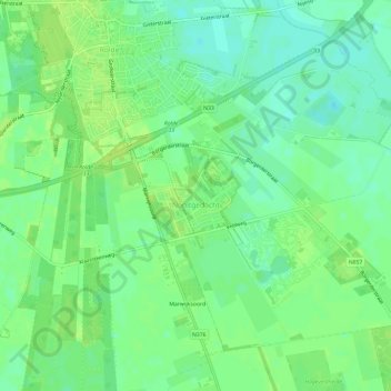
Name: Nooitgedacht topographic map, elevation, terrain.
Location: Nooitgedacht, Aa en Hunze, Drenthe, Nederland (52.95697 6.65256 52.98518 6.71152)
Average elevation: 52 ft
Minimum elevation: 26 ft
Maximum elevation: 66 ft
Other topographic maps
Click on a map to view its topography, its elevation and its terrain.
Oud Annerveen
Oud Annerveen, Aa en Hunze, Drenthe, Nederland
Average elevation: 7 ft
Oosterbroek
Oosterbroek, Eelde, Tynaarlo, Drenthe, Nederland, 9761 TG, Nederland
Average elevation: 10 ft
Oosterhesselen
Nederland > Drenthe > Coevorden
Oosterhesselen, Coevorden, Drenthe, Nederland
Average elevation: 49 ft
Uffelte
Nederland > Drenthe > Westerveld
Uffelte, Westerveld, Drenthe, Nederland
Average elevation: 20 ft
Nieuw-Buinen
Nederland > Drenthe > Nieuw-Buinen
Nieuw-Buinen, Borger-Odoorn, Drenthe, Nederland
Average elevation: 23 ft