Geolocate

Mission topographic map

Click on the map to display elevation.

About this map

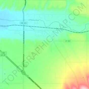
Name: Mission topographic map, elevation, terrain.

Location: Mission, Umatilla County, Oregon, United States (45.64028 -118.70838 45.67515 -118.62067)

Average elevation: 1,407 ft

Minimum elevation: 1,168 ft

Maximum elevation: 2,008 ft

Umatilla County trails, hiking, mountain biking, running and outdoor activities

Other topographic maps

Click on a map to view its topography, its elevation and its terrain.

Carney Butte

United States > Oregon > Umatilla County

Average elevation: 4,393 ft

Wallula Gap

United States > Oregon > Umatilla County

Average elevation: 1,027 ft

Ferndale

United States > Oregon > Umatilla County

Average elevation: 840 ft

Ward Butte

United States > Oregon > Umatilla County

Average elevation: 784 ft

Gear up for your next adventure:

GPS Sports Watch - GPS watch for running, hiking and training
🧼Biodegradable Camping Soap - Eco‑friendly soap for outdoor hygiene
🧥Men's Rain Shells - Premium waterproof and breathable jackets for mountain weather
🪶Wildlife Field Guides - Learn animal tracking and species ID
👟Trail Running Shoes - Lightweight shoes for trail runners

As an Amazon Associate, this site earns from qualifying purchases at no extra cost to you.