
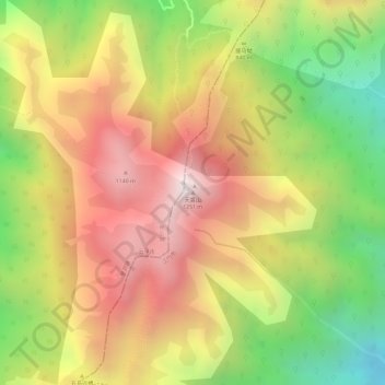
天露山 topographic map
Interactive map
Click on the map to display elevation.
About this map
Name: 天露山 topographic map, elevation, terrain.
Location: 天露山, 江门市, 广东省, 中国 (22.46580 112.24956 22.46590 112.24966)
Average elevation: 2,867 ft
Minimum elevation: 1,398 ft
Maximum elevation: 4,039 ft
Other topographic maps
Click on a map to view its topography, its elevation and its terrain.