
定远镇 topographic map
Interactive map
Click on the map to display elevation.
About this map
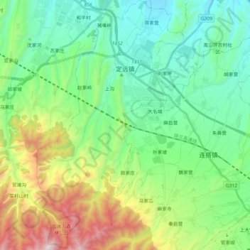
Name: 定远镇 topographic map, elevation, terrain.
Location: 定远镇, 榆中县, 兰州市, 甘肃省, 中国 (35.85838 103.94038 36.00318 104.04628)
Average elevation: 6,699 ft
Minimum elevation: 5,361 ft
Maximum elevation: 10,125 ft
Other topographic maps
Click on a map to view its topography, its elevation and its terrain.