Geolocate

Keota topographic map

Click on the map to display elevation.

About this map

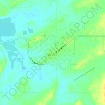
Name: Keota topographic map, elevation, terrain.

Location: Keota, Haskell County, Oklahoma, United States (35.25191 -94.92918 35.26068 -94.91480)

Average elevation: 489 ft

Minimum elevation: 459 ft

Maximum elevation: 538 ft

Haskell County trails, hiking, mountain biking, running and outdoor activities

Other topographic maps

Click on a map to view its topography, its elevation and its terrain.

Hoyt

United States > Oklahoma > Haskell County

Average elevation: 558 ft

Enterprise

United States > Oklahoma > Haskell County

Average elevation: 702 ft

Lequire

United States > Oklahoma > Haskell County

Average elevation: 607 ft

Brooken Mountain

United States > Oklahoma > Haskell County

Average elevation: 820 ft

Gear up for your next adventure:

⛑️Personal Locator Beacon - Safety beacon for emergencies
🧥Men's Rain Shells - Premium waterproof and breathable jackets for mountain weather
🛠️Outdoor Gear Repair Kit - Essential tools to fix gear on the trail
📱Heavy-Duty Phone Cases - Drop-proof and waterproof protection for outdoor navigation
👓Polarized Sunglasses - Outdoor sunglasses for glare reduction

As an Amazon Associate, this site earns from qualifying purchases at no extra cost to you.