
Langley topographic map
Click on the map to display elevation.
About this map
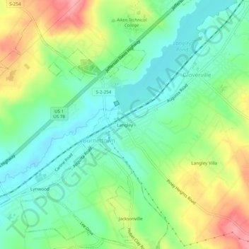
Name: Langley topographic map, elevation, terrain.
Location: Langley, Aiken County, South Carolina, 29834, United States (33.49791 -81.86400 33.53791 -81.82400)
Average elevation: 269 ft
Minimum elevation: 144 ft
Maximum elevation: 482 ft
Aiken County trails, hiking, mountain biking, running and outdoor activities
Other topographic maps
Click on a map to view its topography, its elevation and its terrain.