Geolocate

Hyder topographic map

Click on the map to display elevation.

About this map

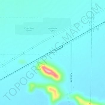
Name: Hyder topographic map, elevation, terrain.

Location: Hyder, Yuma County, Arizona, 85333, United States (32.99643 -113.36880 33.03643 -113.32880)

Average elevation: 568 ft

Minimum elevation: 486 ft

Maximum elevation: 1,234 ft

Yuma County trails, hiking, mountain biking, running and outdoor activities

Other topographic maps

Click on a map to view its topography, its elevation and its terrain.

Yuma

United States > Arizona > Yuma County

Average elevation: 256 ft

Fortuna Foothills

United States > Arizona > Yuma County

Average elevation: 436 ft

Tuscan Ranch

United States > Arizona > Yuma County > Yuma

Average elevation: 207 ft

Somerton

United States > Arizona > Yuma County

Average elevation: 108 ft

Gear up for your next adventure:

📡Handheld GPS Device - Reliable handheld GPS for outdoor navigation
Backpacking Tents - Weight-optimized shelters for multi-day topographic surveys
🔥Camping Stove - Portable stove for camping and backcountry cooking
📱Solar Portable Charger - Solar power bank for charging devices off‑grid
🗻Climbing Gear Basics - Essential gear for beginner climbers

As an Amazon Associate, this site earns from qualifying purchases at no extra cost to you.