
常信乡 topographic map
Interactive map
Click on the map to display elevation.
About this map
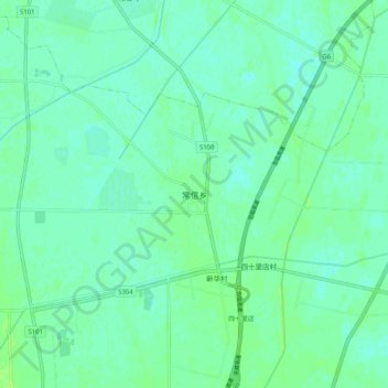
Name: 常信乡 topographic map, elevation, terrain.
Location: 常信乡, 银川市, 宁夏回族自治区, 中国 (38.63387 106.28982 38.71387 106.36982)
Average elevation: 3,619 ft
Minimum elevation: 3,606 ft
Maximum elevation: 3,638 ft
Other topographic maps
Click on a map to view its topography, its elevation and its terrain.