
闽宁镇 topographic map
Interactive map
Click on the map to display elevation.
About this map
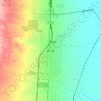
Name: 闽宁镇 topographic map, elevation, terrain.
Location: 闽宁镇, 银川市, 宁夏回族自治区, 中国 (38.21390 105.92900 38.29390 106.00900)
Average elevation: 3,888 ft
Minimum elevation: 3,720 ft
Maximum elevation: 4,193 ft
Other topographic maps
Click on a map to view its topography, its elevation and its terrain.