Geolocate

Cowden topographic map

Click on the map to display elevation.

About this map

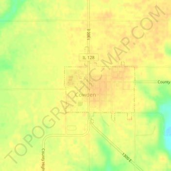
Name: Cowden topographic map, elevation, terrain.

Location: Cowden, Shelby County, Illinois, 62422, United States (39.24368 -88.86664 39.25591 -88.85221)

Average elevation: 591 ft

Minimum elevation: 515 ft

Maximum elevation: 617 ft

Shelby County trails, hiking, mountain biking, running and outdoor activities

Other topographic maps

Click on a map to view its topography, its elevation and its terrain.

Todds Point

United States > Illinois > Shelby County

Average elevation: 656 ft

Westervelt

United States > Illinois > Shelby County

Average elevation: 656 ft

Shelbyville

United States > Illinois > Shelby County > Shelbyville

Average elevation: 620 ft

Gear up for your next adventure:

🎒Day Hiking Backpack - Lightweight backpack perfect for day trips and outdoor adventures
🎒Trekking Poles - Sturdy poles for balance and stability on rough terrain
📖Nature Tracking Books - Learn to track wildlife and terrain
👖Convertible Hiking Pants - Versatile zip-off pants for changing altitudes and temperatures
🌲Outdoor Survival Books - Best books on survival skills

As an Amazon Associate, this site earns from qualifying purchases at no extra cost to you.