
Barr Lake topographic map
Click on the map to display elevation.
About this map
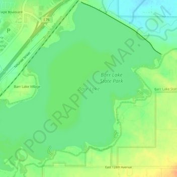
Name: Barr Lake topographic map, elevation, terrain.
Location: Barr Lake, Adams County, Colorado, United States (39.92730 -104.78595 39.96067 -104.74134)
Average elevation: 5,102 ft
Minimum elevation: 5,049 ft
Maximum elevation: 5,167 ft
Adams County trails, hiking, mountain biking, running and outdoor activities
Other topographic maps
Click on a map to view its topography, its elevation and its terrain.
Westminster
United States > Colorado > Adams County > Westminster > Westminster
Average elevation: 5,446 ft
Rocky Mountain Arsenal National Wildlife Refuge
United States > Colorado > Adams County
Average elevation: 5,223 ft