
Iva topographic map
Click on the map to display elevation.
About this map
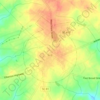
Name: Iva topographic map, elevation, terrain.
Location: Iva, Anderson County, South Carolina, United States (34.29900 -82.67245 34.31690 -82.65497)
Average elevation: 689 ft
Minimum elevation: 594 ft
Maximum elevation: 748 ft
Anderson County trails, hiking, mountain biking, running and outdoor activities
Other topographic maps
Click on a map to view its topography, its elevation and its terrain.