
Windcrest topographic map
Interactive map
Click on the map to display elevation.
About this map
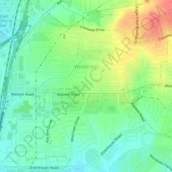
Name: Windcrest topographic map, elevation, terrain.
Location: Windcrest, Bexar County, Texas, United States (29.49665 -98.39982 29.52704 -98.36278)
Average elevation: 787 ft
Minimum elevation: 719 ft
Maximum elevation: 902 ft
Bexar County trails, hiking, mountain biking, running and outdoor activities
Other topographic maps
Click on a map to view its topography, its elevation and its terrain.