
Lake James topographic map
Click on the map to display elevation.
About this map
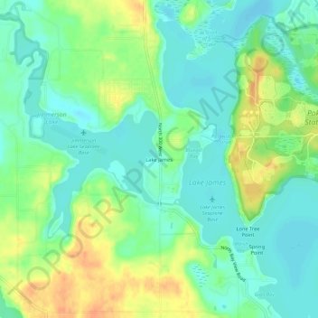
Name: Lake James topographic map, elevation, terrain.
Location: Lake James, Steuben County, Indiana, 46703, United States (41.68505 -85.06830 41.72505 -85.02830)
Average elevation: 994 ft
Minimum elevation: 945 ft
Maximum elevation: 1,076 ft
Other topographic maps
Click on a map to view its topography, its elevation and its terrain.