
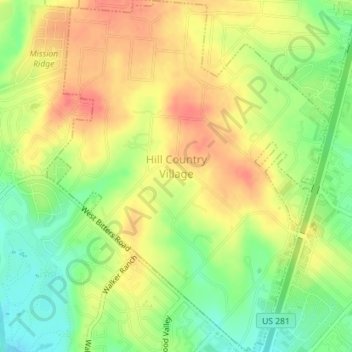
Hill Country Village topographic map
Interactive map
Click on the map to display elevation.
About this map
Name: Hill Country Village topographic map, elevation, terrain.
Location: Hill Country Village, Bexar County, Texas, United States (29.56615 -98.50289 29.59701 -98.47541)
Average elevation: 915 ft
Minimum elevation: 817 ft
Maximum elevation: 994 ft
Bexar County trails, hiking, mountain biking, running and outdoor activities
Other topographic maps
Click on a map to view its topography, its elevation and its terrain.