
张湾街道 topographic map
Interactive map
Click on the map to display elevation.
About this map
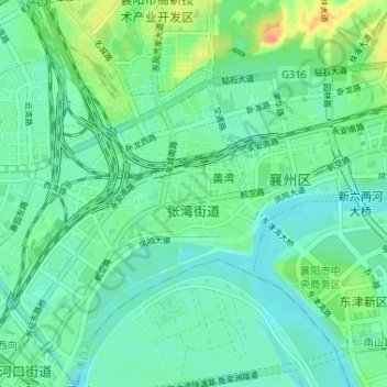
Name: 张湾街道 topographic map, elevation, terrain.
Location: 张湾街道, 襄州区, 襄阳市, 湖北省, 441123, 中国 (32.06017 112.15057 32.11510 112.21413)
Average elevation: 230 ft
Minimum elevation: 190 ft
Maximum elevation: 335 ft
Other topographic maps
Click on a map to view its topography, its elevation and its terrain.