
Dauphin Island topographic map
Interactive map
Click on the map to display elevation.
About this map
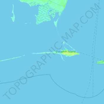
Name: Dauphin Island topographic map, elevation, terrain.
Location: Dauphin Island, Mobile County, Alabama, 36528, United States (30.21454 -88.35146 30.29079 -88.06422)
Average elevation: 0 ft
Minimum elevation: -3 ft
Maximum elevation: 39 ft
Mobile County trails, hiking, mountain biking, running and outdoor activities
Other topographic maps
Click on a map to view its topography, its elevation and its terrain.
Chunchula
United States > Alabama > Mobile County
Chunchula is located in northern Mobile County at 30°55′19″N 88°12′02″W / 30.92185°N 88.20055°W / 30.92185; -88.20055 and has an elevation of 121 feet (37 m). U.S. Route 45 passes through the community, leading south 20 miles (32 km) to Mobile and north 12 miles (19 km) to Citronelle.
Average elevation: 128 ft
Pennsylvania
United States > Alabama > Mobile County > Satsuma > Pennsylvania
Average elevation: 23 ft