
Dayton topographic map
Interactive map
Click on the map to display elevation.
About this map
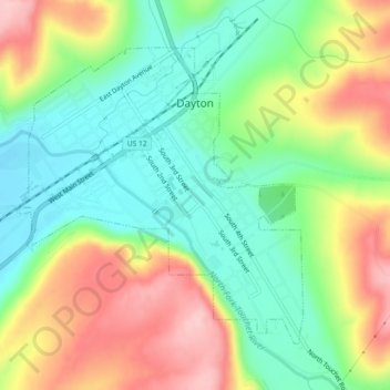
Name: Dayton topographic map, elevation, terrain.
Location: Dayton, Columbia County, Washington, United States (46.30405 -118.00556 46.32805 -117.95985)
Average elevation: 1,814 ft
Minimum elevation: 1,565 ft
Maximum elevation: 2,172 ft
Columbia County trails, hiking, mountain biking, running and outdoor activities
Other topographic maps
Click on a map to view its topography, its elevation and its terrain.