
高楠镇 topographic map
Interactive map
Click on the map to display elevation.
About this map
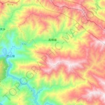
Name: 高楠镇 topographic map, elevation, terrain.
Location: 高楠镇, 城口县, 重庆市, 中国 (32.05366 108.47959 32.17641 108.65041)
Average elevation: 4,711 ft
Minimum elevation: 1,749 ft
Maximum elevation: 7,848 ft
Other topographic maps
Click on a map to view its topography, its elevation and its terrain.