
沿河乡 topographic map
Interactive map
Click on the map to display elevation.
About this map
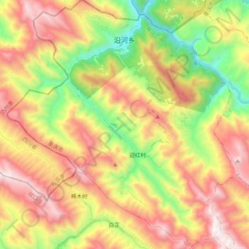
Name: 沿河乡 topographic map, elevation, terrain.
Location: 沿河乡, 城口县, 重庆市, 中国 (31.94832 108.32275 32.07968 108.46784)
Average elevation: 4,170 ft
Minimum elevation: 1,585 ft
Maximum elevation: 6,886 ft
Other topographic maps
Click on a map to view its topography, its elevation and its terrain.