
高燕镇 topographic map
Interactive map
Click on the map to display elevation.
About this map
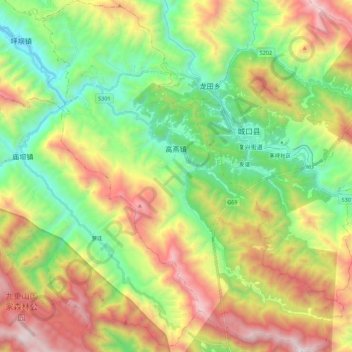
Name: 高燕镇 topographic map, elevation, terrain.
Location: 高燕镇, 城口县, 重庆市, 中国 (31.83153 108.53083 32.01921 108.71984)
Average elevation: 4,337 ft
Minimum elevation: 1,850 ft
Maximum elevation: 8,199 ft
Other topographic maps
Click on a map to view its topography, its elevation and its terrain.