
巴山镇 topographic map
Interactive map
Click on the map to display elevation.
About this map
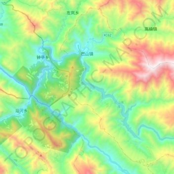
Name: 巴山镇 topographic map, elevation, terrain.
Location: 巴山镇, 城口县, 重庆市, 中国 (32.00857 108.42784 32.15173 108.61324)
Average elevation: 3,593 ft
Minimum elevation: 1,578 ft
Maximum elevation: 7,677 ft
Other topographic maps
Click on a map to view its topography, its elevation and its terrain.