
左岚乡 topographic map
Interactive map
Click on the map to display elevation.
About this map
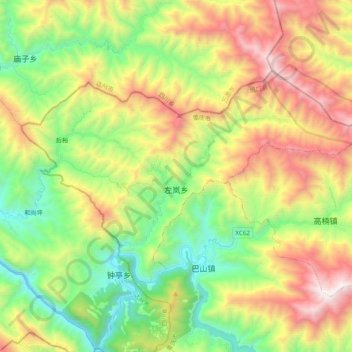
Name: 左岚乡 topographic map, elevation, terrain.
Location: 左岚乡, 城口县, 重庆市, 中国 (32.10351 108.36446 32.20366 108.56074)
Average elevation: 4,029 ft
Minimum elevation: 1,555 ft
Maximum elevation: 7,677 ft
Other topographic maps
Click on a map to view its topography, its elevation and its terrain.