
明通镇 topographic map
Interactive map
Click on the map to display elevation.
About this map
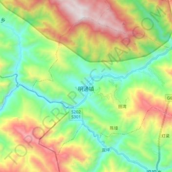
Name: 明通镇 topographic map, elevation, terrain.
Location: 明通镇, 城口县, 渝东北三峡库区城镇群, 重庆市, 中国 (31.72654 108.49701 31.82315 108.63930)
Average elevation: 4,203 ft
Minimum elevation: 1,988 ft
Maximum elevation: 8,009 ft
Other topographic maps
Click on a map to view its topography, its elevation and its terrain.