
涌宝镇 topographic map
Interactive map
Click on the map to display elevation.
About this map
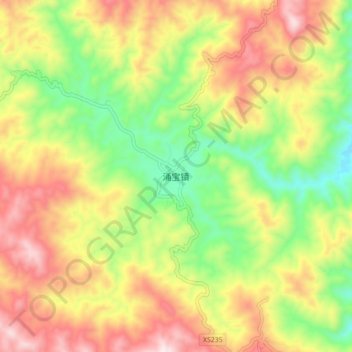
Name: 涌宝镇 topographic map, elevation, terrain.
Location: 涌宝镇, 临沧市, 云南省, 中国 (24.23674 100.27147 24.31674 100.35147)
Average elevation: 6,788 ft
Minimum elevation: 5,850 ft
Maximum elevation: 7,812 ft
Other topographic maps
Click on a map to view its topography, its elevation and its terrain.