
勐董镇 topographic map
Interactive map
Click on the map to display elevation.
About this map
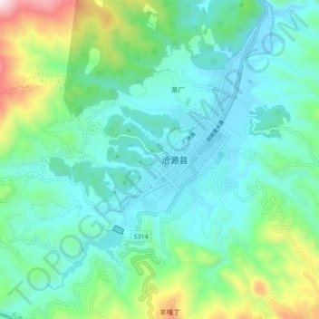
Name: 勐董镇 topographic map, elevation, terrain.
Location: 勐董镇, 临沧市, 云南省, 中国 (23.11031 99.20452 23.19031 99.28452)
Average elevation: 4,692 ft
Minimum elevation: 4,022 ft
Maximum elevation: 7,034 ft
Other topographic maps
Click on a map to view its topography, its elevation and its terrain.