
勐捧镇 topographic map
Interactive map
Click on the map to display elevation.
About this map
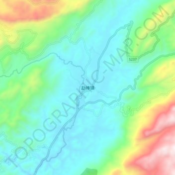
Name: 勐捧镇 topographic map, elevation, terrain.
Location: 勐捧镇, 临沧市, 云南省, 中国 (24.02349 98.93191 24.10349 99.01191)
Average elevation: 4,275 ft
Minimum elevation: 3,284 ft
Maximum elevation: 7,264 ft
Other topographic maps
Click on a map to view its topography, its elevation and its terrain.