
南伞镇 topographic map
Interactive map
Click on the map to display elevation.
About this map
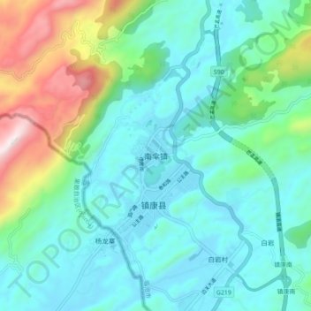
Name: 南伞镇 topographic map, elevation, terrain.
Location: 南伞镇, 临沧市, 云南省, 中国 (23.73385 98.78553 23.81385 98.86553)
Average elevation: 3,999 ft
Minimum elevation: 3,215 ft
Maximum elevation: 6,729 ft
Other topographic maps
Click on a map to view its topography, its elevation and its terrain.