
永德县 topographic map
Interactive map
Click on the map to display elevation.
About this map
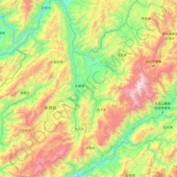
Name: 永德县 topographic map, elevation, terrain.
Location: 永德县, 临沧市, 云南省, 665000, 中国 (23.75229 99.08651 24.44894 99.84563)
Average elevation: 5,102 ft
Minimum elevation: 1,791 ft
Maximum elevation: 11,391 ft
Other topographic maps
Click on a map to view its topography, its elevation and its terrain.