
华山南峰 topographic map
Interactive map
Click on the map to display elevation.
About this map
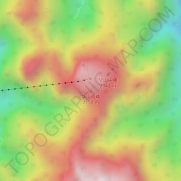
Name: 华山南峰 topographic map, elevation, terrain.
Location: 华山南峰, 渭南市, 陕西省, 中国 (34.47771 110.07802 34.47781 110.07812)
Average elevation: 4,915 ft
Minimum elevation: 3,031 ft
Maximum elevation: 6,703 ft
Other topographic maps
Click on a map to view its topography, its elevation and its terrain.