
白水县 topographic map
Interactive map
Click on the map to display elevation.
About this map
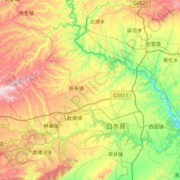
Name: 白水县 topographic map, elevation, terrain.
Location: 白水县, 渭南市, 陕西省, 715603, 中国 (35.06295 109.27669 35.45066 109.76505)
Average elevation: 2,877 ft
Minimum elevation: 1,522 ft
Maximum elevation: 5,066 ft
Other topographic maps
Click on a map to view its topography, its elevation and its terrain.