
澄城县 topographic map
Interactive map
Click on the map to display elevation.
About this map
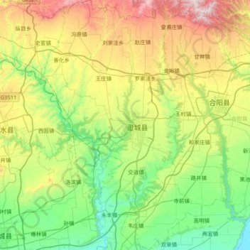
Name: 澄城县 topographic map, elevation, terrain.
Location: 澄城县, 渭南市, 陕西省, 中国 (34.92591 109.68079 35.44828 110.09457)
Average elevation: 2,297 ft
Minimum elevation: 1,102 ft
Maximum elevation: 5,072 ft
Other topographic maps
Click on a map to view its topography, its elevation and its terrain.