
韩马村 topographic map
Interactive map
Click on the map to display elevation.
About this map
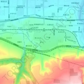
Name: 韩马村 topographic map, elevation, terrain.
Location: 韩马村, 临渭区, 渭南市, 陕西省, 中国 (34.45947 109.46735 34.49947 109.50735)
Average elevation: 1,430 ft
Minimum elevation: 1,145 ft
Maximum elevation: 2,001 ft
Other topographic maps
Click on a map to view its topography, its elevation and its terrain.