
建溪 topographic map
Interactive map
Click on the map to display elevation.
About this map
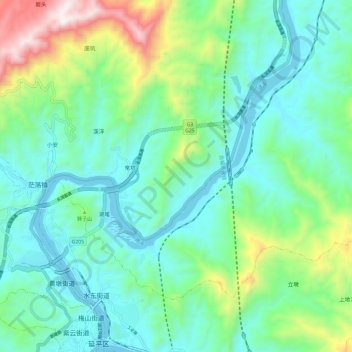
Name: 建溪 topographic map, elevation, terrain.
Location: 建溪, 南平市, 延平区, 南平市, 福建省, 中国 (26.63811 118.15716 26.74480 118.24557)
Average elevation: 1,017 ft
Minimum elevation: 187 ft
Maximum elevation: 3,615 ft
Other topographic maps
Click on a map to view its topography, its elevation and its terrain.