
九峰山 topographic map
Interactive map
Click on the map to display elevation.
About this map
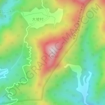
Name: 九峰山 topographic map, elevation, terrain.
Location: 九峰山, 南平市, 福建省, 中国 (27.59524 117.62554 27.59534 117.62564)
Average elevation: 2,041 ft
Minimum elevation: 1,276 ft
Maximum elevation: 3,182 ft
Other topographic maps
Click on a map to view its topography, its elevation and its terrain.