
北斗 topographic map
Interactive map
Click on the map to display elevation.
About this map
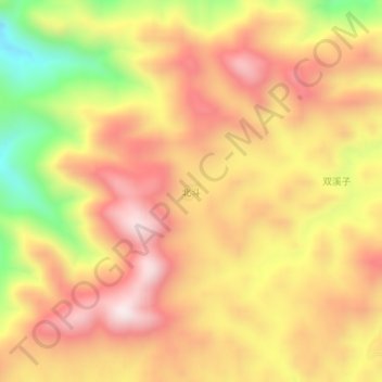
Name: 北斗 topographic map, elevation, terrain.
Location: 北斗, 南平市, 福建省, 中国 (27.32821 119.10525 27.36821 119.14525)
Average elevation: 3,392 ft
Minimum elevation: 2,037 ft
Maximum elevation: 4,311 ft
Other topographic maps
Click on a map to view its topography, its elevation and its terrain.