
司前乡 topographic map
Interactive map
Click on the map to display elevation.
About this map
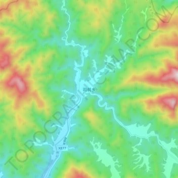
Name: 司前乡 topographic map, elevation, terrain.
Location: 司前乡, 南平市, 福建省, 中国 (27.86868 117.48447 27.94868 117.56447)
Average elevation: 2,139 ft
Minimum elevation: 1,194 ft
Maximum elevation: 4,193 ft
Other topographic maps
Click on a map to view its topography, its elevation and its terrain.