Geolocate

Victoria Lake topographic map

Click on the map to display elevation.

About this map

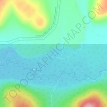
Name: Victoria Lake topographic map, elevation, terrain.

Location: Victoria Lake, Yukon, Unorganized, Yukon, Canada (61.99725 -137.07690 61.99793 -137.07404)

Average elevation: 3,192 ft

Minimum elevation: 3,045 ft

Maximum elevation: 3,675 ft

Other topographic maps

Click on a map to view its topography, its elevation and its terrain.

Porter Creek

Canada > Yukon > Whitehorse

Average elevation: 2,329 ft

Haines Junction

Canada > Yukon

Average elevation: 2,060 ft

Carcross

Canada > Yukon

Average elevation: 2,566 ft

Panorama Ridge

Canada > Yukon

Average elevation: 6,283 ft

Carmacks

Canada > Yukon

Average elevation: 2,034 ft

McArthur Peak

Canada > Yukon

Average elevation: 11,542 ft

Jakes Corner

Canada > Yukon

Average elevation: 2,703 ft

Teslin Post 13

Canada > Yukon

Average elevation: 2,280 ft

Canyon

Canada > Yukon

Average elevation: 2,195 ft

Burwash Landing

Canada > Yukon > Burwash Landing

Average elevation: 2,717 ft

Destruction Bay

Canada > Yukon > Destruction Bay

Average elevation: 2,930 ft

Bear Creek

Canada > Yukon > Bear Creek

Average elevation: 2,119 ft

Teslin

Canada > Yukon > Teslin

Average elevation: 2,300 ft

Volcano Mountain

Canada > Yukon

Average elevation: 3,084 ft

Gear up for your next adventure:

🪵Folding Camp Saw - Compact saw for wood and campsite work
🔥Plasma Lighters - Windproof lighters that work in any weather condition
🪑Portable Camp Table - Compact table for campsite meals
📖Nature Tracking Books - Learn to track wildlife and terrain
🌲Outdoor Survival Books - Best books on survival skills

As an Amazon Associate, this site earns from qualifying purchases at no extra cost to you.