Geolocate

Teslin Post 13 topographic map

Click on the map to display elevation.

About this map

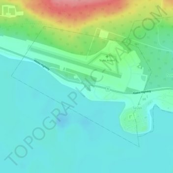
Name: Teslin Post 13 topographic map, elevation, terrain.

Location: Teslin Post 13, Yukon, Canada (60.15988 -132.76440 60.17870 -132.72035)

Average elevation: 2,280 ft

Minimum elevation: 2,198 ft

Maximum elevation: 2,523 ft

Other topographic maps

Click on a map to view its topography, its elevation and its terrain.

Carcross

Canada > Yukon

Average elevation: 2,566 ft

Panorama Ridge

Canada > Yukon

Average elevation: 6,283 ft

Jakes Corner

Canada > Yukon

Average elevation: 2,703 ft

Canyon

Canada > Yukon

Average elevation: 2,195 ft

McArthur Peak

Canada > Yukon

Average elevation: 11,542 ft

Bear Creek

Canada > Yukon

Average elevation: 2,116 ft

Beaver Creek

Canada > Yukon > Beaver Creek

Average elevation: 2,195 ft

Sambo Creek

Canada > Yukon

Average elevation: 2,218 ft

Victoria Lake

Canada > Yukon

Average elevation: 3,192 ft

Volcano Mountain

Canada > Yukon

Average elevation: 3,084 ft

Gear up for your next adventure:

🧷Carabiner Set - Durable clips for gear attachment
🧭Orienteering Set - Complete compass and map reading kit
🏕️Family Camping Gear - Essentials for group camping trips
📚Navigation Handbooks - Master the art of reading topographic maps and using a compass
🍳Camping Cook Set - Complete cookware for outdoor meals

As an Amazon Associate, this site earns from qualifying purchases at no extra cost to you.