
谷力脑包 topographic map
Interactive map
Click on the map to display elevation.
About this map
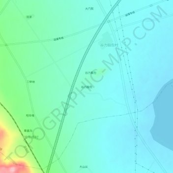
Name: 谷力脑包 topographic map, elevation, terrain.
Location: 谷力脑包, 察哈尔右翼前旗, 乌兰察布市, 内蒙古自治区, 中国 (40.82734 113.15238 40.86734 113.19238)
Average elevation: 4,236 ft
Minimum elevation: 4,137 ft
Maximum elevation: 4,692 ft
Other topographic maps
Click on a map to view its topography, its elevation and its terrain.