
黑山 topographic map
Interactive map
Click on the map to display elevation.
About this map
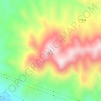
Name: 黑山 topographic map, elevation, terrain.
Location: 黑山, 乌兰察布市, 内蒙古自治区, 中国 (41.01396 112.35958 41.01406 112.35968)
Average elevation: 5,279 ft
Minimum elevation: 4,370 ft
Maximum elevation: 6,201 ft
Other topographic maps
Click on a map to view its topography, its elevation and its terrain.